Highlighted
Skills
Below are some of the projects I have worked on over the past five years.
My current position at Esri allows me to see a large number of custom workflows from all aspects of the GIS world.

Custom Build UN Schemas
ArcGIS Pro subtype panel pictured aboveI have worked with hundreds of different UN data model schemas, and this has given me the ability to understand most aspects of the UN data model. The asset group / asset type data model is a highly complex system that allows for almost unlimited asset modeling and connectivity.
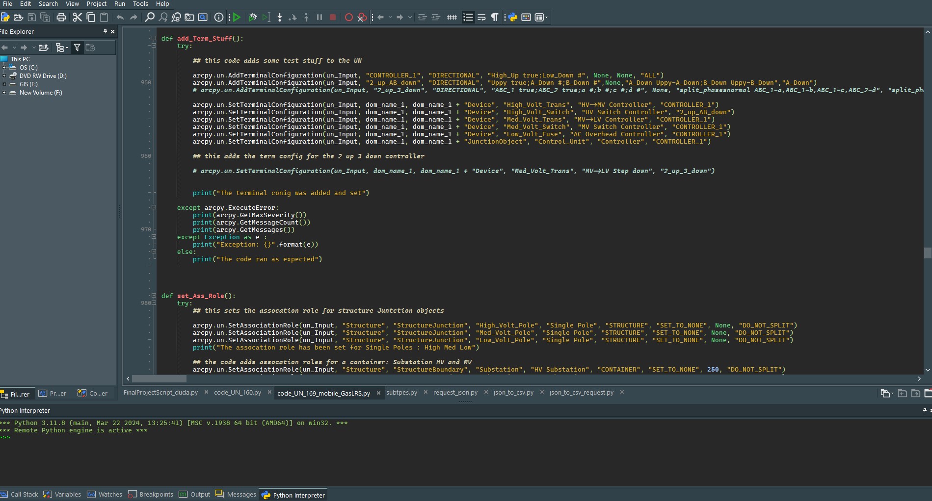
Python Scripting using ArcPy
UN Electric data model creation scriptI have personally written scripts to create UN data models from scratch. These automated Python scripts have allowed me to reinforce my UN skill set as well as increase my understanding of creating all different types of automated Python tasks.

ArcGIS Business Analyst Workflows
Suitability ModelingMy experience with ArcGIS Business Analyst has allowed me to understand the software and the many different types of analyses it can perform. From Territory Design to Custom Infographics, I have learned how to analyze and visualize all types of business intelligence data.
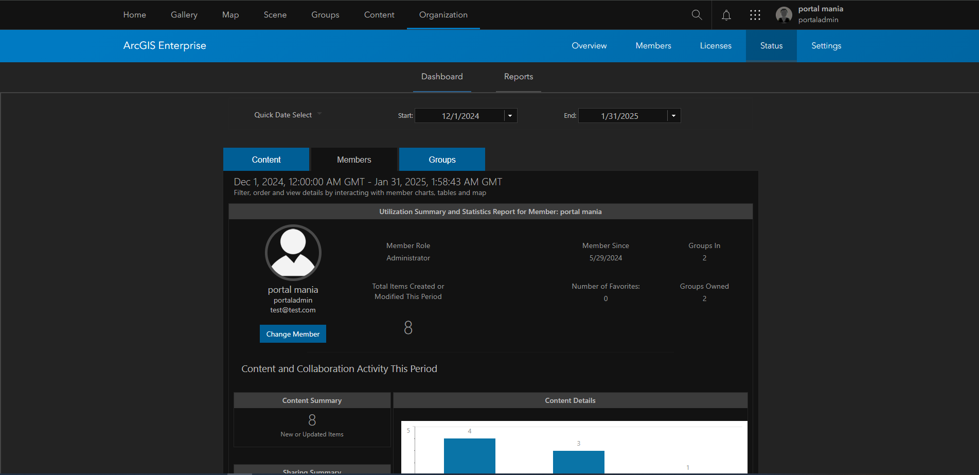
ArcGIS Portal (Enterprise)
Web GIS PlatformArcGIS Enterprise Portal serves as the central hub for sharing maps, apps, and data across an organization. My experience includes configuring portal environments, managing user roles and groups, publishing hosted feature layers, and building web apps — all within on-premises and hybrid Enterprise deployments.

ArcGIS Server
Spatial ServicesArcGIS Server enables the publication and management of GIS services across an enterprise environment. I have hands-on experience administering Server Manager, publishing map and feature services, configuring service parameters, and troubleshooting connectivity issues between Server and Enterprise Portal deployments.
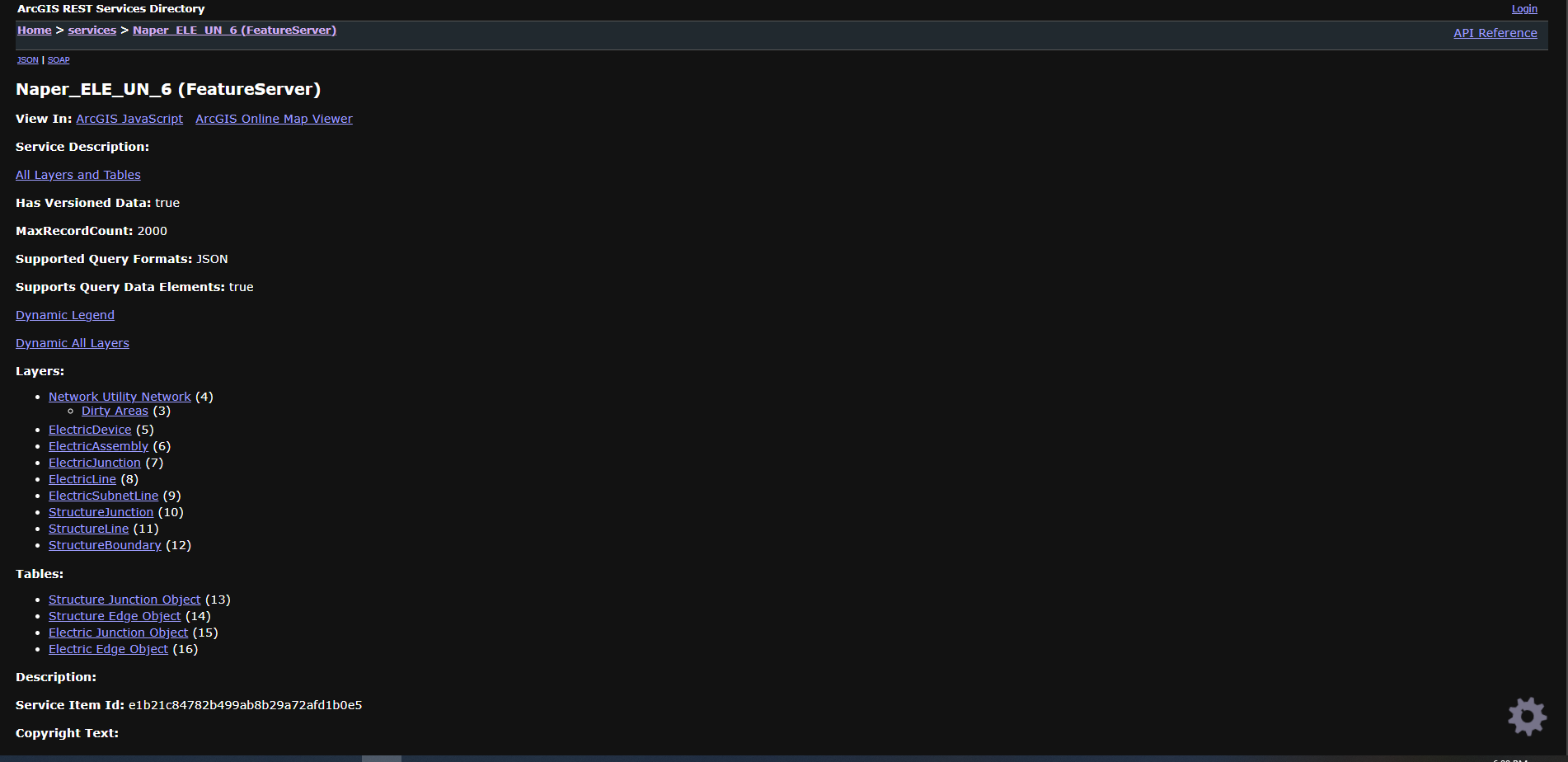
ArcGIS REST
API & EndpointsThe ArcGIS REST API provides programmatic access to GIS services and resources. I regularly work with REST endpoints to query feature services, inspect layer metadata, manage Enterprise resources, and integrate GIS data into custom applications and automated workflows.
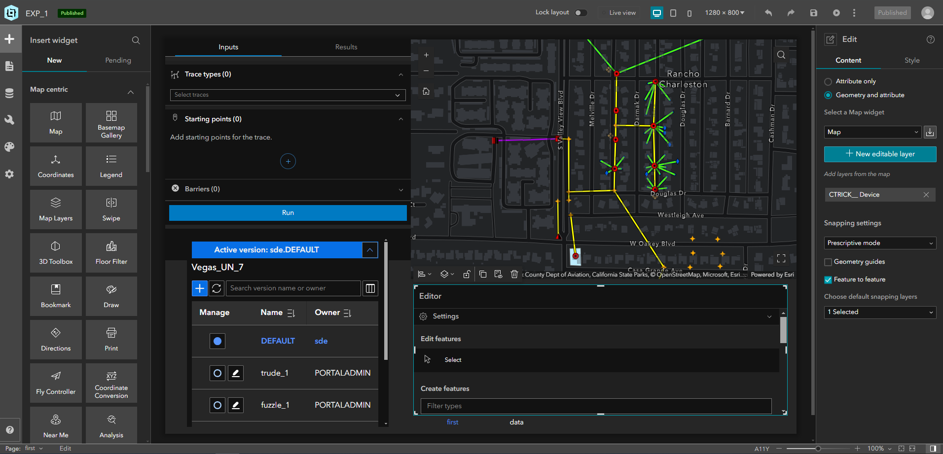
ArcGIS Experience Builder
App DesignArcGIS Experience Builder allows for the creation of rich, no-code web applications built around interactive maps and data. I have used Experience Builder to design multi-page GIS applications, configure custom widgets, and deliver polished end-user experiences on both Enterprise and ArcGIS Online platforms.

ArcGIS Online (Non-Enterprise)
Cloud GISArcGIS Online is Esri's cloud-based mapping and analysis platform. My experience spans publishing and managing hosted layers, configuring web maps and apps, working with Living Atlas content, and advising users on workflows that bridge ArcGIS Online with on-premises Enterprise environments.

ArcGIS Arcade
Expression LanguageBeyond attribute rules, I have applied Arcade across a wide range of ArcGIS contexts — including custom pop-up expressions, labeling logic, symbology-driven expressions, and form calculations. Arcade's portability across the ArcGIS platform makes it a versatile tool for delivering dynamic, data-driven experiences without backend scripting.
Recent
Projects
Here are some examples of workflows I have completed recently.


Utility Network Training Series
An ongoing video series covering ArcGIS Utility Network concepts, data modeling, and real-world workflows for utility and telecom organizations.
I am currently in the process of creating a series of video tutorials for ArcGIS Utility Network. While these videos focus on the UN data model and its functionality, they also help users understand many of the more complex aspects of the ArcGIS Ecosystem that the Utility Network relies on.
About
Me
While I support a wide variety of ArcGIS Pro-based tools and workflows, my primary
responsibilities have been UN (Utility Network) and BA (Business Analyst). Supporting these products allows me to see a vast array of workflows involving almost every aspect of the ArcGIS Ecosystem.
-

ArcGIS Utility Network
A utility network is the main component users work with when managing utility and telecom networks in ArcGIS, providing a comprehensive framework for modeling utility systems such as electric, gas, water, stormwater, wastewater, and telecommunications. It is designed to model all of the components that make up a real-world network system.
-

ArcGIS Business Analyst
ArcGIS Business Analyst helps you make smarter decisions for market planning, site selection, and customer segmentation by combining demographic, business, lifestyle, spending, and census data with map-based analytics. Through desktop, web, and mobile apps, Business Analyst helps identify under-performing markets, pinpoint the right growth sites, find where target customers live, and share analysis as accurate infographic reports and dynamic presentations.
-

ArcGIS Enterprise
ArcGIS Enterprise is the foundational software system for GIS, powering mapping and visualization, analytics, and data management. It is the backbone for running the Esri suite of applications and custom applications. ArcGIS Enterprise is integrated with ArcGIS Pro for mapping and authoring and connects with ArcGIS Online to share content between systems.
-

University of Arizona
The University of Arizona is a Research I institution with a history that reflects excellence, service, and forward momentum. The GIST programs are part of the School of Geography, Development & Environment, well known for national rankings in academics and research. The National Academy of Sciences has ranked the school in the top ten among Geography Departments in the United States.
-

UNLV Master's Program — Data Analytics: Cloud-Based Machine Learning
The M.S. in Data Analytics equips students with technical skills used by professional data scientists for data analysis, visualization, predictions, and discoveries. This Master's degree at UNLV utilizes the strengths of six colleges covering computer programming, database technology, machine learning, management, and statistical techniques for data analysis across specific disciplines.
-

15+ Years of Fine Dining & Customer Service Experience
Before transitioning into GIS, I spent over 15 years working in fine dining and customer service across Las Vegas. This experience shaped my ability to manage high-pressure situations, communicate complex information clearly, and deliver an exceptional customer experience — skills that directly inform how I support clients and colleagues in a technical environment.
-

Python
Python is my primary scripting language for GIS automation. I use it extensively with ArcPy to build custom geoprocessing tools, automate data management tasks, create Utility Network schemas, perform spatial analysis, and develop standalone scripts that extend ArcGIS Pro functionality well beyond what the GUI provides out of the box.
-

Arcade
Arcade is a portable, lightweight, and secure expression language used to create custom content in ArcGIS applications. Like other expression languages, it can perform mathematical calculations, format text, and evaluate logical statements. It also supports multi-statement expressions, variables, and flow control. Arcade is unique in its inclusion of feature and geometry data types, making it uniquely suited for spatial workflows.
-

GIS Workflows
My work at Esri has exposed me to an exceptionally wide range of GIS workflows — from utility network tracing and spatial analysis to custom symbology, field data collection, and enterprise data management. This breadth of experience allows me to quickly understand and navigate complex, real-world GIS problems across many industries.
-

UN Cert Associate
Earners of the ArcGIS Utility Network Associate certification have proven experience applying ArcGIS Utility Network concepts and processes to workflows. Earners have demonstrated proficiency with concepts including editing, analyzing, and managing data in a utility network, as well as performing basic administration tasks.
-
University of Arizona — John Buttery Award for Excellence in GIS
Congratulations to Joe Duda (BS-GIST) for winning the John Buttery Award, given to students for excellence in GIS and/or remote sensing, recognizing performance in related courses and service to the School or community. This award was established by John Buttery, a University of Arizona graduate who has been a pioneer in the application of GIS software and data. Joe was selected for the 2021 award based on feedback from BS-GIST faculty who thought extremely highly of his academic work.
-

Video Production & Drone Operations
In addition to my GIS work, I produce video content focused on ArcGIS Utility Network training. These tutorials are designed to help GIS professionals understand the complexity of the UN data model, covering everything from schema design to network tracing and subnetwork management. I also operate a DJI Mavic 4 drone, capturing high-resolution RGB aerial imagery to support spatial analysis and GIS workflows.
Current Location: Las Vegas Valley
Contact
Joe
Interested in working together or have a question about my work? Reach out — I'd love to connect.